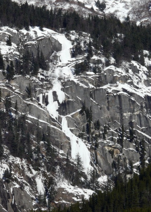
Mount Raymond lies near the Canadian border on the Upper Chilkat River in the far backcountry outside of Haines. It is a committing approach that is best made by snow machine because it is 20 plus miles from the Haines Highway. Approach Mount Raymond as one would for Klutshah Mountain and continue at least an additional five miles on river flats and sloughs which is sometimes made easier by previous snow machine tracks from hunters and trappers in the area. Channel crossings may be necessary and it may prove wise to wait for these to set up. The prominent route on Mount Raymond, Goat Tiers, becomes visible about a quarter mile north of the last visible area of Blue Cherry on Klutshah Mountain.
