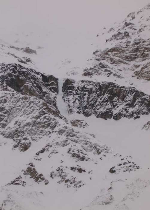
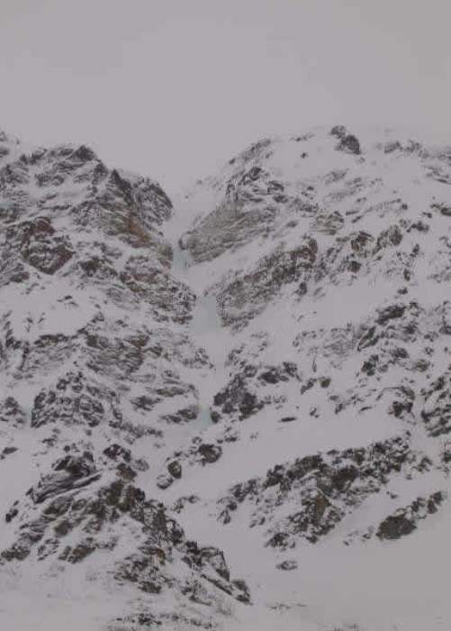
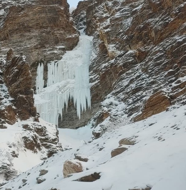
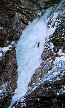
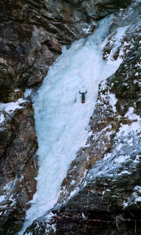
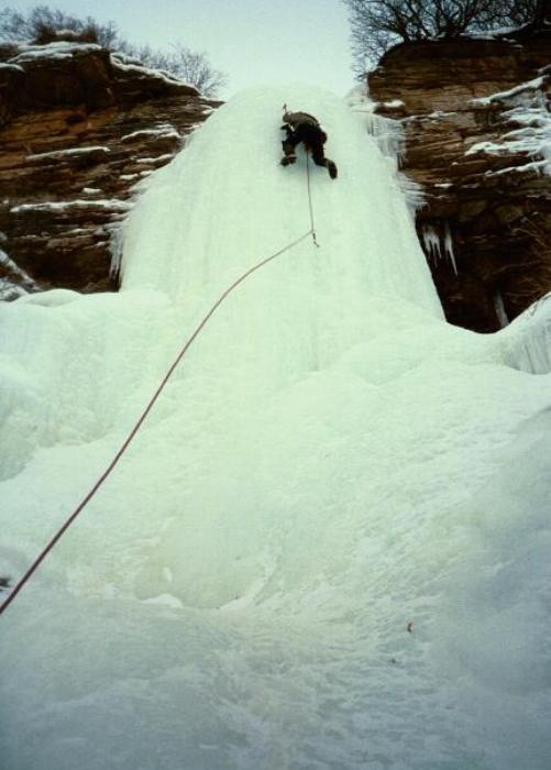
Getting to Polychrome Mountain in the winter or fall is obviously one of the biggest challenges for accessing the routes. The road is closed this time of year so you will have to work out the logistics for traveling approximately 50 miles. And, you will need to time it right when the conditions are in. You may just get lucky enough to get everything right to get an ascent on the ice on Polychrome.
Author: buzzbizz
Denali National Park
Denali National Park is home to the Great One, the tallest mountain in North America. Many mountaineers visit the park by plane departing from Talkeetna to challenge themselves in the peaks of the Alaska Range. Other climbers access DNP by the single road leading into the park or by backcountry skis or dog sled team. It’s the limited access that helps DNP retain its original wilderness and can help to ensure a remote climbing experience for the true adventurer.
North Parks Highway
From Anchorage, drive north on the Glenn Highway approximately 45 minutes. Take the Parks Highway west and north on the Parks for another 3 to 3.5 hours through Wasilla, Talkeetna, and Cantwell. This area exists north of the turnoff for the Denali Highway and most of the climbs in this area are located just outside of the entrance to Denali National Park.
Triangle Peak 2
Rating:
Length: 650 meters
A long 1500′ (approx.) snow couloir (50-60 degress max) climb is necessary to approach the base of this route. Ths couloir trends up to a large headwall with a pencil like pillar coming down the middle. The first step of ice is a long 40-50 meter slab of 60-70 degree ice to the base of what looks to be a 40 meter freestanding pillar.
FA:
Anchor/Descent: Be prepared to set a V-thread for the descent.
![]() ALERT: Avalanche basin is located directly above the pillar and it looks dangerous in all but the best snow conditions.
ALERT: Avalanche basin is located directly above the pillar and it looks dangerous in all but the best snow conditions.
Triangle Peak 1
Rating:
Length: 400 meters
This route consists of 3 ice steps, each around 30-40 meters long. The first step appears to be around 70 degrees. The second and third steps appears steeper at 80 degrees. The total length of the route is probably around 1000′ maybe 1250’ish, from the base of the first ice step. Probably, another 500 feet of climbing the bottom snow gully will put one on the first ice step. Steep snow couloir steps between the ice.
FA:
Anchor/Descent: Be prepared to set a V-thread for the descent.
Triangle Peak
The climbs on Triangle Peak are accessed via the Castner Glacier east of the Richardson Highway. Hike the center/middle of the glacier to avoid the rough terrain on the south side of the glacier. Hike to approximately 63.40388 North -145.63366 West on the glacier and turn south to the base of the climbs, 700 feet elevation gain and 3/4 mile distance.
Gunnysack Creek 2
Rating: WI4
Length: 30 meters
Route is steepest at the start then tapers out after the first 10-15 m. In the early season before the pillar has touched down at the base, there is ice on the left which can be climbed. If you take this route be prepared for a traverse right half e at up the climb.
FA:
Descent: There are options either for a walk around or a v-thread descent. The walk around is to the left at the top of the climb. Can be steep and icy. So a v-thread rappel is probably a better option.
Posted by: Stefan Johnson, December 14, 2021.
Gunnysack Creek 1
Rating: WI1
Length: 50 meters
This route climbs a massive waterfall that always remains less than vertical.
FA:
Anchor/Descent: A V-thread is necessary for the descent on this route.
Gunnysack Creek
Park near the crossing of the Gunnysack River bridge and begin the long approach upriver to these climbs.
Wedding Cake
Rating: WI3/4
Length: 3, 10 meter steps separated by snow climbs, 3 pitches, 60 meters
The steeper climbable ice sections on this climb are broken by walks in between on flatter terrain.
FA:
Anchor/Descent: Ice anchors on the ascent are necessary. A walk off descent exists at the finish.
