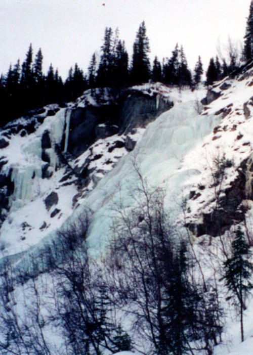
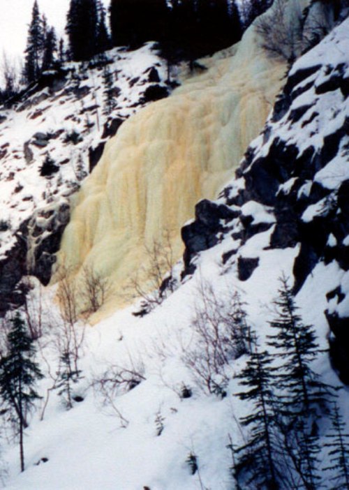
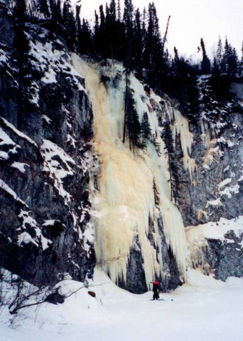
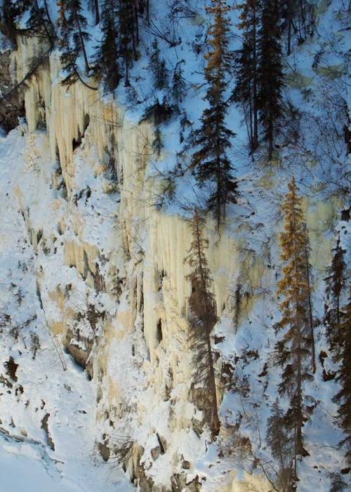
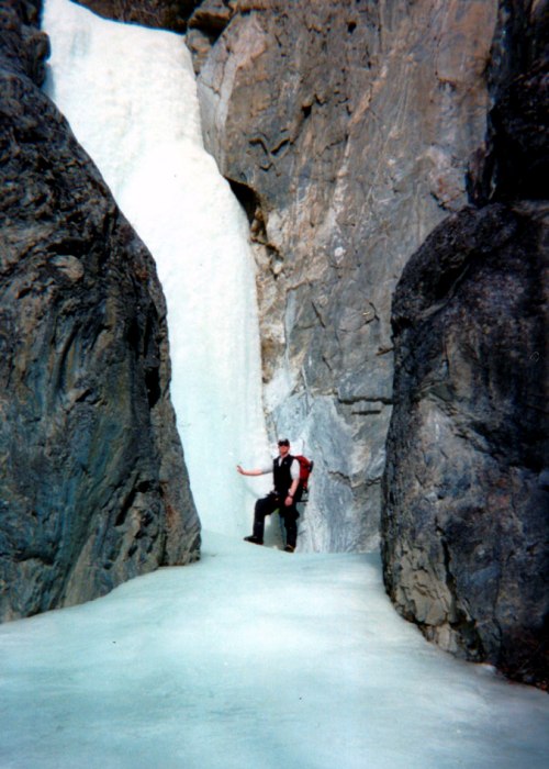
Canyon Creek Pillar

Rating: WI4
Length: 60 meters

The route starts immediately above the creek so be prepared to belay in a sitting position. Climb a near vertical pillar for approximately 15-17 meters to some steppy ice for another 25 meters. Above the steppy ice climb through brush to reach two large trees to the anchor.

FA:

Anchor: Alders, brush and trees exist. Webbing may be necessary for ice anchors.

Kenai Peninsula

The Kenai Peninsula offers incredible ice climbing in some of the most spectacular settings. Some climbs drop straight into the Cook Inlet with towering volcanoes in the distance. Other areas are home to beautiful ice formations that are extremely technical and that prove to be the test piece in difficulty. Whatever your passion, the Kenai Peninsula is always sure to deliver.

KENAI WEATHER

Chitistone River

Chitistone River provides one of the most wild experiences for ice climbing in Alaska. This style of climbing is more akin to an expedition than to the weekend outings available around Anchorage. It has seen plenty of activity as early as 1987 when a few parties visited these climbs and made numerous first ascents. Roman Dial was instrumental in documenting this information and wrote a guide on the area in 1988 that provides history and experiences of climbing in this remote area of Alaska.

Refer to Roman Dial’s forum link iconChitistone Canyon Ice Climbs Guide for more detail on this area.

This area was also documented on forum link iconEpisode 4 of The Firn Line podcast from a bikepacking trip made into the area in early 2016.

Kuskulana River

To access the climbs in the Kuskulana River Gorge area continue past the town of Chitina and cross the Copper River Bridge. Follow the McCarthy Road for about 14 miles and one will come to a long narrow bridge that spans the Kuskulana River. Drive across the bridge and park in a gravel pit to the right. Cross the road and hike along the canyon rim rappelling to the base of the routes. All of the routes are located on river left and upstream of the bridge. In other words, that would be the left hand side of the river if you were looking downstream.

Crystalline Hills 2

Rating: WI3
Length: varies, multi-pitch, 70-80 meters

Climb the pillar for 50 feet of WI3. Once the pillar is climbed, the angle kicks back and a nice bench is present for a belay. The second pitch is 100 feet of WI3-. It would be awkward to climb the route as one pitch due to the length of low angle ice between the steps.

FA:

Anchor/Descent: Be prepared to place V-threads or rap off of trees. For descent either rappel the route in two rappels, using a tree and a thread. It is also possible to walk off to the right.

Crystalline Hills

To get to the Crystalline Hills continue down the McCarthy Road past the town of Chitina until you get to the 35-mile marker. A series of dramatic peaks will be on your left. Between the 35-mile and 36-mile marker is a maintained trail with “S” sign on it. This trail offers the best access to the mountains. The closest climb is about 30 minutes up the trail. All other routes require longer more strenuous approaches.