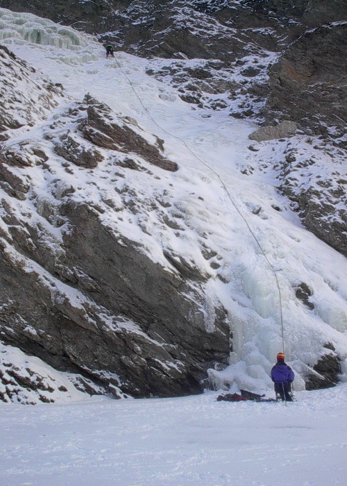
Jack River Falls

Rating: WI3-4
Length: 150 meters, 3 pitches

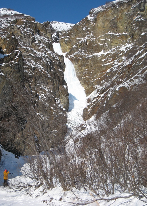
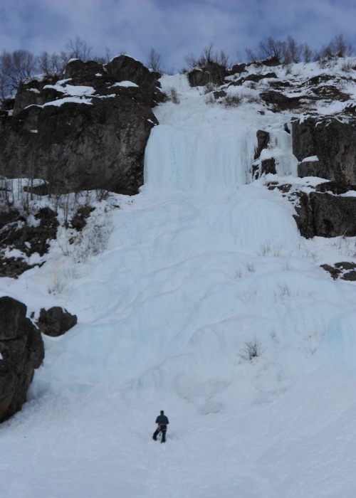
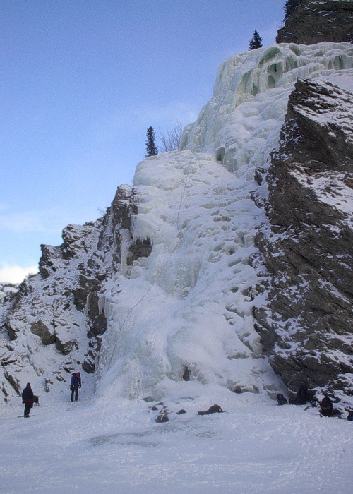
The route consists of three pitches. The first pitch is relatively easy and is a walk up that can sometimes be buried in snow. The second pitch begins to steepen and the difficulty is raised to WI3 or WI4 for a full rope length. The third pitch is a few hundred meters up the drainage and is separate enough to be considered a different climb. This climb is huge when in good conditions and can accomodate several parties.

FA:

Anchor/Descent: Be prepared to V-thread to rappel off of this route.

alert icon ALERT: This trail is used by snow machines. Be cautious on the trail.
Jack River

Near Cantwell, the Jack River provides access into the hills to the east of the Alaska Range. Snow machiners frequent this area because of the nice back country access and a trail loop out to the Parks Highway. This well used trail makes entry into the Jack River for the ice fairly straight forward.

Take the Denali Highway east from Cantwell approximately 4 miles to the BLM right-of-way trailhead. This trail is marked by two posts on the south side of the Denali Highway. Depending on the time of year visited, one may have to travel half the distance to the trail head on unmaintained roadway. Late in the season towards April, the highway may be plowed all the way to the trail head. This trail is the access to Jack River and provides a right-of-way through the native owned land in the area.

alert icon ALERT: This trail sees a decent amount of snow machine travel so be cautious on the trail.

Burning Sensation

Rating: WI4
Length: 100 meters

The climb starts out with approximately 40 meters of moderate ice (WI2 at most) up to a very good belay stance with a good tree for an anchor at the left base of the crux curtain. The crux of the route is a large curtain of 90 degree ice approximately 15 meters in height (one could traverse right even further to make the crux just slightly shorter). Above the crux exists approximately 45 meters of moderate ice followed by a final 5 meter near vertical pillar.

FA: Tim Cronin & Dan Valentine, March 2012

Anchor/Descent: v-thread, alders, or walk off to left of route.

Hidden River

At approximately mile marker 145 on the Parks Highway, this relatively unknown valley heads northwest into the southern flanks of the Alaska Range. The drainage is about midway between Trapper Creek and Cantwell and actually lies in Denali State Park. You will need to ensure you can cross the Chulitna River safely and a few other small streams. Make your way over some hilly old growth forest and then make your way up the Hidden River valley. In 2012, we received the first report of 4 new routes nearly 21 miles up the valley.

alert icon ALERT: Be sure to check on current snow conditions in the Park.

Panorama Mountain

Panorama Peak sits at the threshold of Alaska Range just north of Cantwell. The mountain itself has incredible features and definitely stands out amongst the others in the area. It is situated just east of the Parks Highway, and for this reason it is extremely accessible for single day ascents.

This area is documented in Roman Dial’s forum link iconPanorama Ice Guide.

  • Porcupine
  • Phoenix
  • Third World
  • Truancy