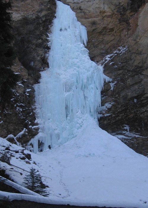
Tohitkah Twins

Rating: WI4
Length: 2 routes, each single pitch

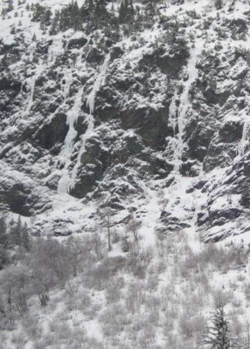
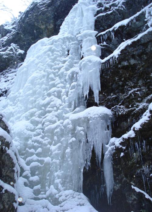
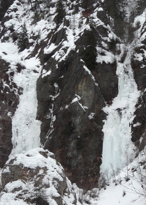
Two climbs exist in this drainage. The north pillar was first led by Zach Jacobson. The south pillar was first led by Scott Visscher.

FA: Zach Jacobson & Scott Visscher, 2012

Anchor/Descent: On the No. pitch 2, 60 meter ropes and an alder clump got you down in one rap. On the So. pitch, walk up and then down a ridge on so. side to a 35 meter rap off a tree to the base of climbs. With 2, 70 meter ropes there’s a rap off tree at top.

Tohitkah Mountain

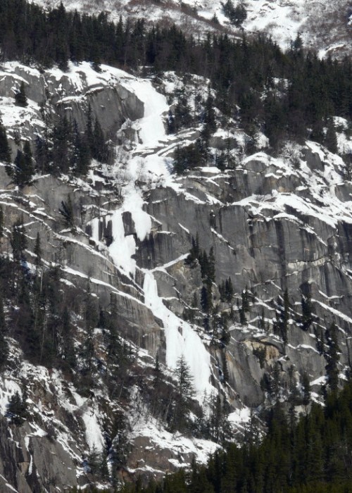
The routes on Tohitka Mountain are less prominent than the massive Blue Cherry across the valley. But, be sure to check them out if you are in the neighborhood.

Access is similar to Klutshah Mountain. After crossing the Kelsall, follow logging trails approximately two miles back to the Upper Chilkat River valley. Continue on the trails until the main scooter trail finishes with a 300 yard downhill through old growth. One will pop out at a slough and travel an additional three miles on trails to a (hopeful) river crossing at or near a seasonal lodge with guest cabins. This is a good marker that you are in the right area. Avoid a brush battle and head several hundred yards up valley past the guest lodge advancing toward the mountain’s slope.

alert icon ALERT: The access to the climbing in this area may exist through private property. Climb at your own risk and respect the land owners and property in this area.

Mount Raymond

Mount Raymond lies near the Canadian border on the Upper Chilkat River in the far backcountry outside of Haines. It is a committing approach that is best made by snow machine because it is 20 plus miles from the Haines Highway. Approach Mount Raymond as one would for Klutshah Mountain and continue at least an additional five miles on river flats and sloughs which is sometimes made easier by previous snow machine tracks from hunters and trappers in the area. Channel crossings may be necessary and it may prove wise to wait for these to set up. The prominent route on Mount Raymond, Goat Tiers, becomes visible about a quarter mile north of the last visible area of Blue Cherry on Klutshah Mountain.

Klutshah Mountain

Klutshah Mountain exists in the Upper Chilkat River area and is a committing approach. In fact, given the long approach time, an overnight stay is recommended. Snow machines, snow shoes, or skis can help on the approach. And, pay attention to the weather to gain a handle on whether or not the climbing is in.

After crossing the Kelsall, follow logging trails approximately two miles back to the Upper Chilkat River valley. Continue on the trails until the main scooter trail finishes with a 300 yard downhill through old growth. One will pop out at a slough and travel an additional three miles on trails to a (hopeful) river crossing at or near a seasonal lodge with guest cabins. This is a good marker that you are in the right area. Avoid a brush battle and head several hundred yards upvalley past the guest lodge advancing toward the mountain’s slope. Snowshoe/ski/posthole in a southwesterly direction directly along the slope and creek bottom for the path of least resistance. The moutain’s steep slope and creek wrap directly into the gorge and take you to the climb within 30 minutes on foot.

alert icon ALERT: The access to the climbing in this area may exist through private property. Climb at your own risk and respect the land owners and property in this area.

Upper Chilkat River

Climbing in the Upper Chilkat exists in the remote backcountry north of Haines. Haines and the surrounding area can have more moderate winter conditions which makes timing all the more important when thinking of climbing in this area. If you hit this area after a cold snap you might just find yourself rewarded with some big ice.

The area north of the Wells Bridge on the Haines Highway at the Chilkat River crossing has become known as the Upper Chilkat. Take the Haines Highway by car north from Haines about 27 miles to the turn off at Mosquito Lake Road. Take Mosquito Lake Road and travel three miles to Kelsall Road. Parking is recommended here or backtrack on Mosquito Lake Road to the school. Travel Kelsall Road nine miles to Kelsall bridge at the confluence with Nataga Creek. Cross the Kelsall River and head back to the Upper Chilkat River proper.

Our thanks go out to Zac Jacobson for sharing his information on the climbing potential in this remote area.

HAINES WEATHER